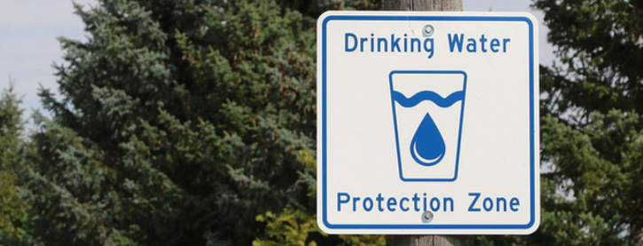
Norfolk County is located in the Long Point Region and Grand River watersheds, an area of land that catches rain and snow that drains into a common marsh, stream, river, lake, or groundwater. These watersheds and Catfish Creek and Kettle Creek make up the Lake Erie Source Protection Region.
Representatives from Norfolk County sit on the Lake Erie Source Protection Committee, responsible for identifying and managing current and future threats to drinking water in the region.
The committee seeks public input on important decisions. When public consultation occurs, notices will be posted on Norfolk County’s website.
Source Water Protection history
In May 2000, heavy rain washed E. coli bacteria into a well, supplying water to Walkerton. This led to seven deaths and over 2,300 illnesses due to a series of human and mechanical failures.
The Ontario government responded by establishing the Walkerton Inquiry under Justice Dennis O’Connor, who issued a two-volume report with 121 recommendations to prevent future incidents. The Clean Water Act incorporates some of these recommendations, using a multi-barrier approach to ensure safe drinking water from source to tap.
The first step in this approach is Source Protection, which involves assessing and controlling risks to the surface and groundwater that supply Norfolk County’s five water treatment systems.
Contact us
For further information, please contact Source Protection:
Call: Zachary Lehman at 705-957-5571
Email: sourcewaterprotection@cambium-inc.com


